Fourth State Line – Oklahoma
One brutal day and
one exhausted finish. Started day with
19 mph headwind and windchill of 45 F.
Constant wind all day. The road
was basically flat with wide open terrain, so absolutely no wind breaks. The ride has like biking uphill constantly. Never used any of the higher bike gears. Typical biking speed was 9.5-10.5 mph, but
due to frequent brief rest stops, the overall average speed 8.5 mph. Given the flat to slightly declining
elevation, should have been averaging 15+ mph.
More than 1/3 of the riders did not finish the day.
The windy weather that we experienced the last 3 days is being driven by a strong cold front that is slowly moving east across the Great Plain states and causing rain and tornadoes in the Mississippi and Ohio River states.


We are traveling northeast on US route 54 across the Oklahoma panhandle.

Note the airstrip wind sock.


We saw fields of wind turbines in Texas and Oklahoma. Note the size of the towers compared to the white trucks adjacent to the 3rd tower and the size of the circa 1930 windmill in the background.


 Much of the crops are irrigated with these large (many 100's of yard long systems. These result in the circular crop fields that one see from an airplane when flying over the Western part of the US.


Judi enjoying a huge plate of barbecued ribs.
Wednesday 29th May, 2019
Day 19
Location:
Dalhart, TX to Guymon, OK
Distance:
73 miles
Temp: 48
– 65 F cloudy
Wind: 19 mph headwind all day
Cumulative climbing distance: 551 ft
Cumulative descending distance: 1427 ft
The windy weather that we experienced the last 3 days is being driven by a strong cold front that is slowly moving east across the Great Plain states and causing rain and tornadoes in the Mississippi and Ohio River states.

This is how Judi's day began. A flat tire, which actually happen yesterday with a slow leak. The tally is now: Ken 6 flats and Judi 5 flats.


We are traveling northeast on US route 54 across the Oklahoma panhandle.

Note the airstrip wind sock.

I would very pleased to say that the "slow moving vehicle" sign on my bike was flying due to my speed, but the truth is that its results from the 19 mph headwind and my meager 10 mph.

Arriving at SAG wagon stop.

This 20 ft. tall statue of a Texas cowboy was in the parking lot.

Corn field. The plants are just 6" tall. Will see how tall corn is by the time we reach Ohio.


The Union Pacific railroad is running parallel to US 54.

We saw fields of wind turbines in Texas and Oklahoma. Note the size of the towers compared to the white trucks adjacent to the 3rd tower and the size of the circa 1930 windmill in the background.

One wind turbine blade.

I was passed by more than 100 double decker cattle semi trailers today.

The small white deposits on my blue windbreaker are liquid mist from these cattle haulers.


Oil fields are also in this area. Often adjacent to the wind turbine farms. Interesting.


Most of the towns are very small (note: pop. 346) but have huge grain elevators.

Entering Oklahoma.

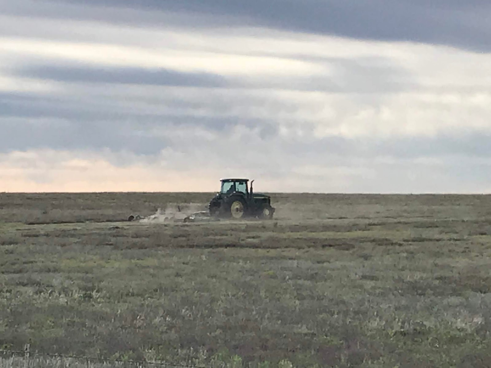
The Dust Bowl setting during the Great Depression in John Steinbeck’s book the “The Grapes of Wrath” was centered in the Oklahoma region that we are biking through. Given the flatness and today’s winds, it is very easy to imagine the Dust Bowl conditions in the mid- 1930’s that devastated this agricultural area.

Large cattle feedlots. The aroma (odor) is quite strong.

Judi enjoying a huge plate of barbecued ribs.


It is a good thing you are in cattle country for the high protein meals to keep you going. Be safe!
ReplyDelete